Mangataiore
Location
New Zealand
35° 8' 50.1792" S, 173° 24' 21.1212" E
See map: Google Maps
NZ
About
3609
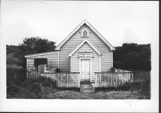
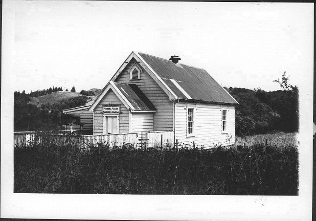
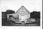
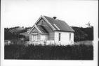
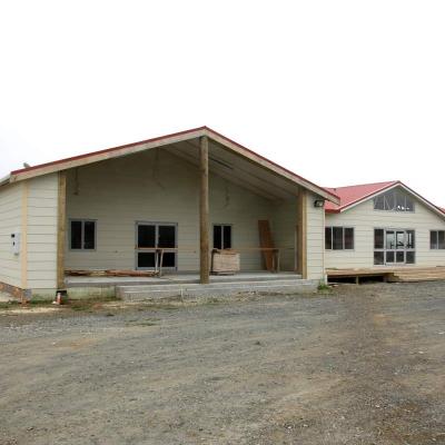
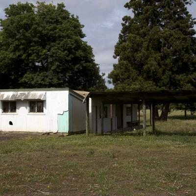
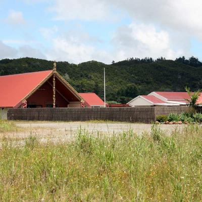
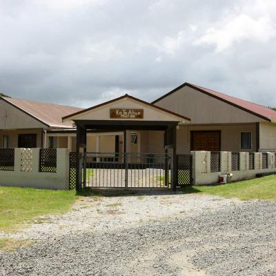
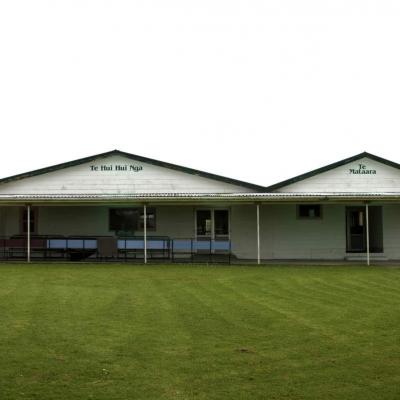
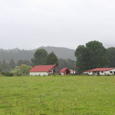
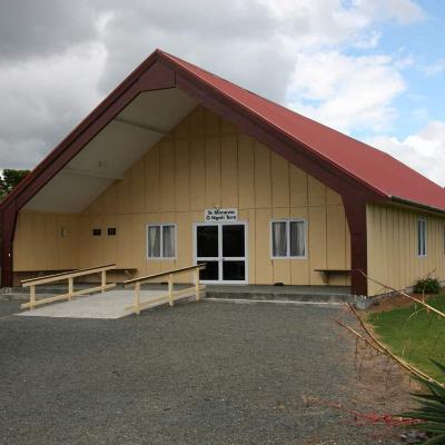
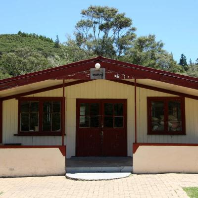
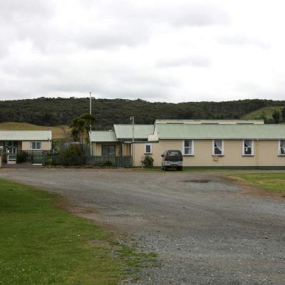
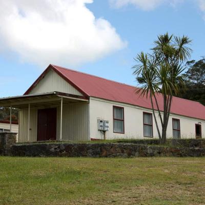
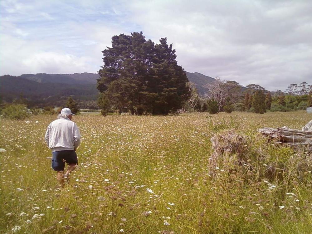
Mangataiore marae is south-east of Kaitaia, not far off State Highway 1. It is not visible from nearby Victoria Valley Road. The local hapu is Ngāti Taranga of Ngāti Kahu.
Mangataiore marae represents the territory occupied by the maunga named Kotipu, the Mangataiore River and the moana of Tokerau Bay.