Mangamuka
-
Iwi
-
Hapū
-
Waka
-
District
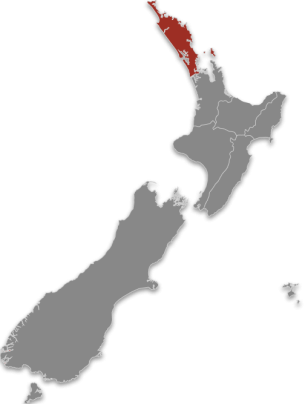
Te Tai Tokerau
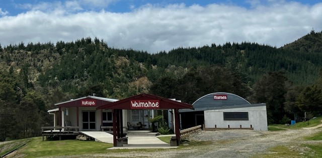
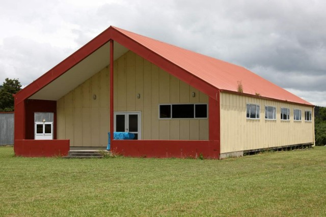
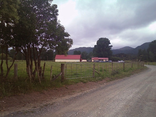
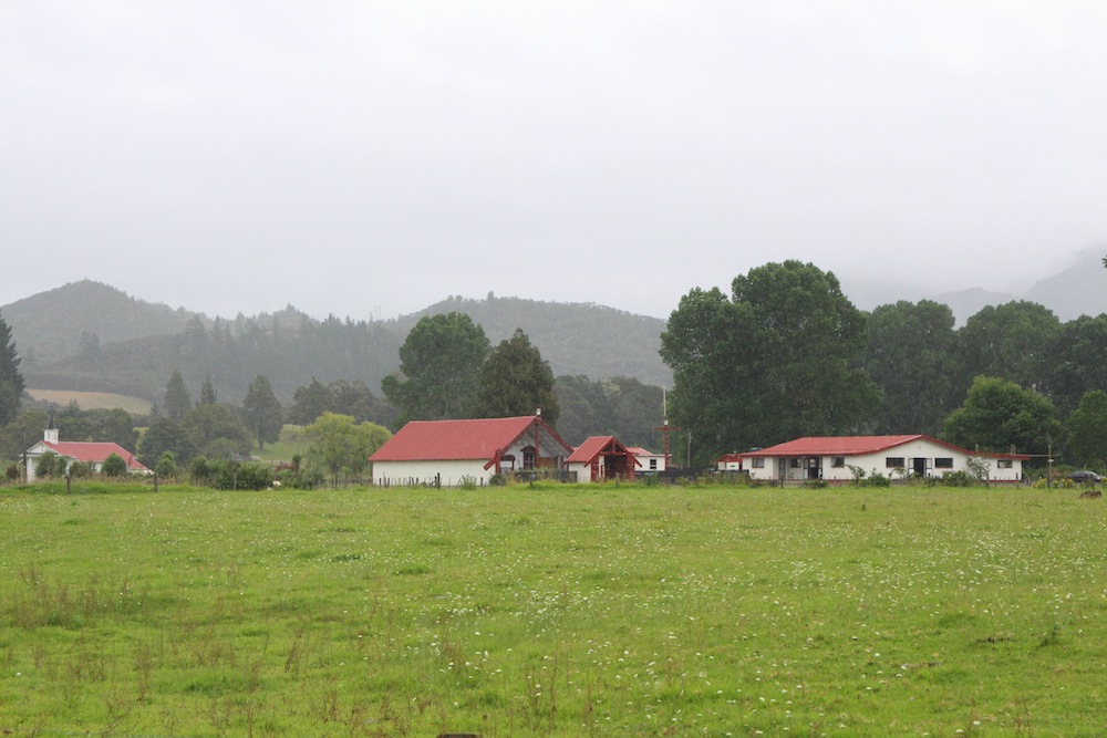
Mangamuka marae is just off State Highway 1 south of the Mangamuka range. It belongs to the Ngāpuhi confederation and the wharenui is called Ngāpuhi (Puhi Kai Ariki, Puhi Moana Ariki, Puhi Taniwharau).
Mangamuka marae connects to the nearby maunga named Maungataniwha and to the Hokianga Harbour.
Share this page
Address
9 Iwitaua Rd
Mangamuka
Northland

Contact Type
GeneralKey information
- Rōhe
- Te Tai Tokerau
- Whare
- Ngāpuhi
- Maunga
- Maungataniwha
- Awa
- Tapapa
- Community Trust
- ASB Community Trust