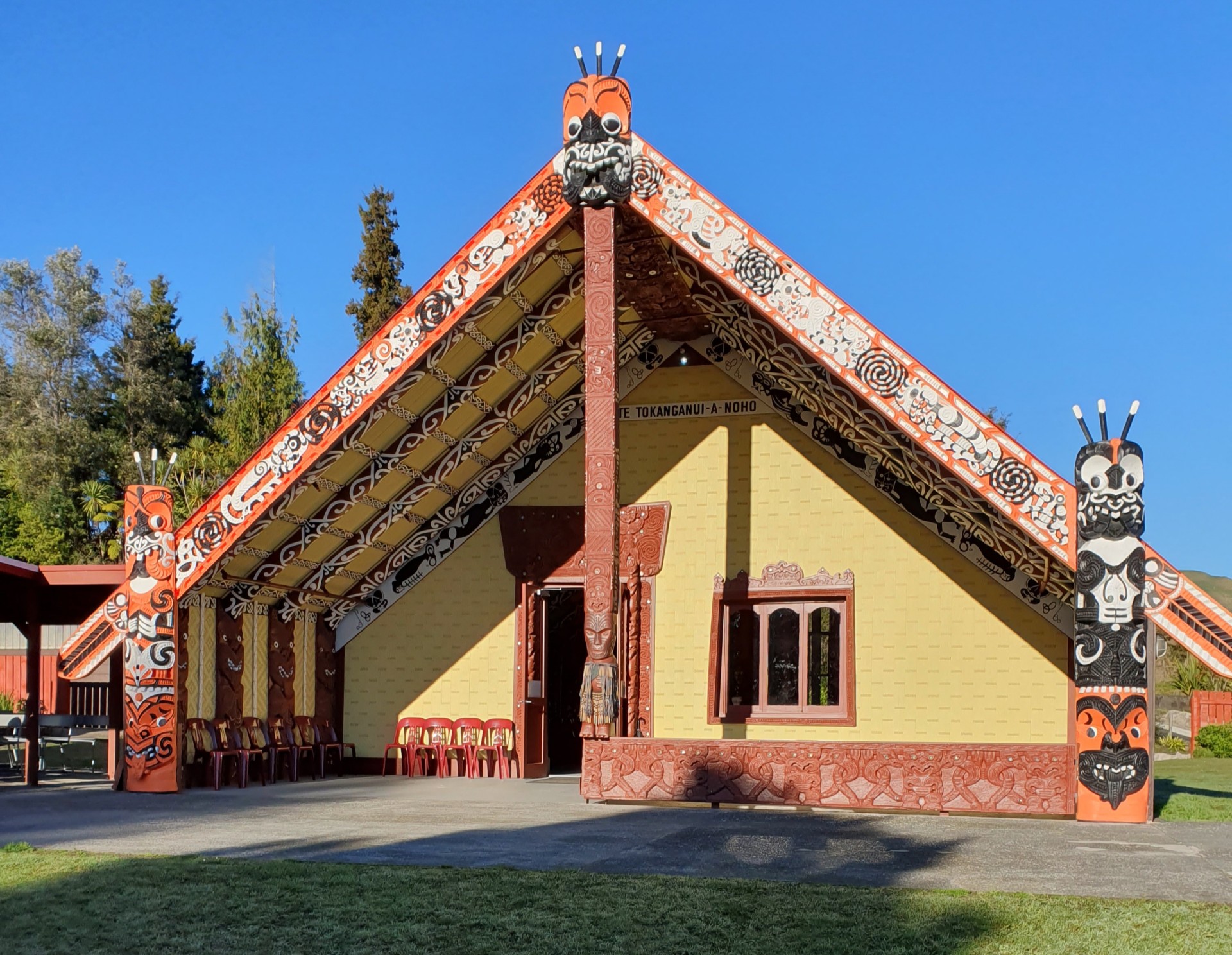

Te Tokanganui a Noho (Te Kūiti Pā)
-
Iwi
-
Hapū
-
Waka
-
District
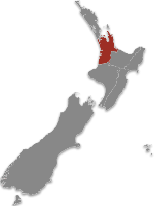
Waikato - Maniapoto
Te Tokanganui-ā-Noho marae (also known as Te Kūiti Pā) is located on State Highway 3 in the township of Te Kūiti. The primary hapū for this marae is Ngāti Rora of Ngāti Maniapoto Iwi. This Whare Puni also has a whakapapa connection to Ngāti Apakura Iwi through the Raupatu of Waikato Whenua,1864.
Between the years 1869 – 1873, Te Tokanganui-ā-noho was built under the guidance of the Matua Tangata, Te Kooti Arikirangi, Te Tūruki. Te Kooti then gifted the Whare Puni, Te Tokanganui-ā-noho to Ngāti Maniapoto Iwi as a Koha for Ngāti Maniapoto hospitality, shortly before he was pardoned by the New Zealand Government, 1883.
Te Tokanganui-a-noho has been relocated three times and currently stands as a constant reminder of the many Pūrākau contained within Te Tokanganui-ā-noho. The interior of the Whare Puni was exquisitely carved by the descendants of Te Tairāwhiti, Ngāti Awa, Tūhoe whom travelled with Te Matua Tangata to Te Kūiti during Te Whai-o-Te Motu. These Whakairo are supported by the many Tuku panels also contained with this Whare Puni.
The Wharekai is named Nau Mai Tuarua to signify the return home of the 28th Māori Battalion who fought in World War II. The Whare Ariki is called Te Ranga-ā-Haurua and it is one of the residencies of Kīngi Tuheitia and the Whare Kāhui Ariki during their visits to Ngāti Maniapoto Iwi. Te Tokanganui-ā-noho connects ancestrally to Tainui Waka and the many mountains of Te Kūiti valley, including Mōtakiora, Pukenui and Rangitoto along with the river of Mangaōkewa.
Share this page
Address

Contact Type
GeneralWebsite
Te Kūiti PāKey information
- Whare
- Te Tokanganui a Noho
- Wharekai
- Nau Mai Tuarua
- Maunga
- Mōtakiora
- Awa
- Mangaōkewa
- Community Trust
- Trust Waikato
- Hui: Tikanga / Kawa
- Tau utuutu