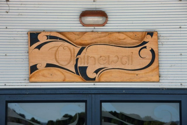
Mangataiore
-
Iwi
-
Hapū
-
Waka
-
District
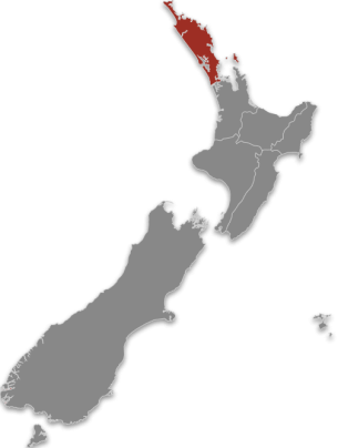
Te Tai Tokerau
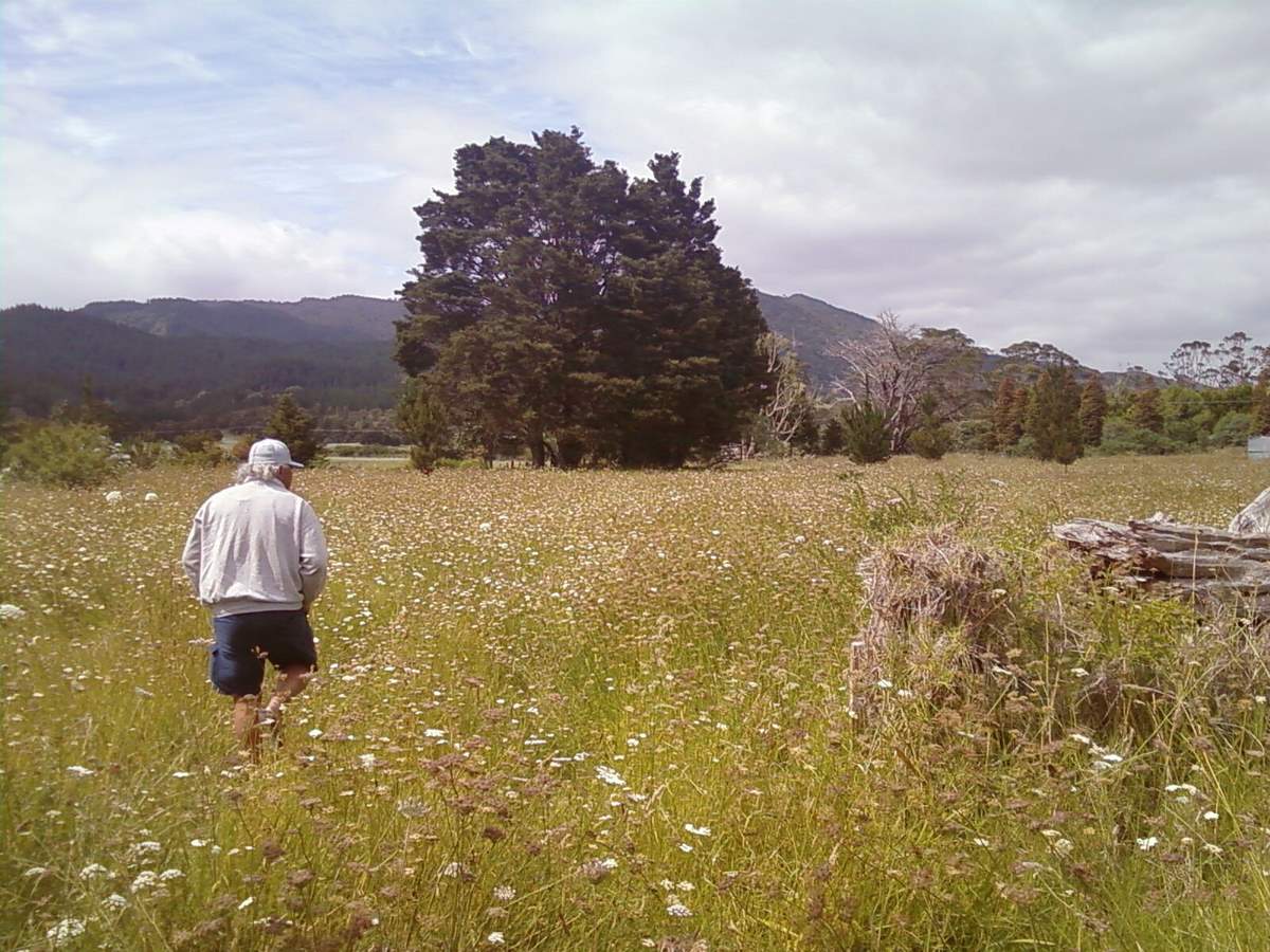
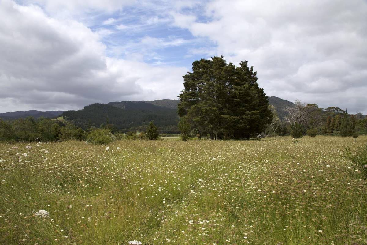
Mangataiore marae is south-east of Kaitaia, not far off State Highway 1. It is not visible from nearby Victoria Valley Road. The local hapu is Ngāti Taranga of Ngāti Kahu.
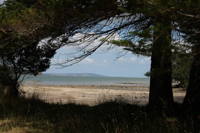
Mangataiore marae represents the territory occupied by the maunga named Kotipu, the Mangataiore River and the moana of Tokerau Bay.
Share this page
Address
40-54 Victoria Valley Rd
Victoria Valley
Northland
0481

Contact Type
CaretakerName
Dick TahuKey information
- Rōhe
- Te Tai Tokerau
- Whare
- Mangataiore
- Maunga
- Kotipu
- Moana
- Tokerau
- Awa
- Mangataiore River
- Community Trust
- ASB Community Trust